About Us
Services
Projects/Portfolio
Clients
Library
Thoth Land Surveying Professionals
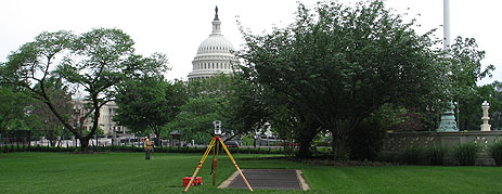
Professional Land Surveying Services in the District of Columbia, Maryland and Virginia
Whitepapers
Precision GIS Storm Collection
Using Cellular Static IP for Base to Rover Long Distance RTK with Multiple Vector Analysis
Services
Geodetic and Control Surveying
Horizontal and Vertical Control Surveys
Flood Elevation Certificates
Deformation and Subsidence Monitoring
Cadastral Surveying
Boundary and ALTA Survey
Easements and Legal Descriptions
DC Registered Survey
Topographic and Utility Base mapping
Topographic Feature Mapping
Class A-D Utility Mapping
Aerial Photogrammetry and LIDAR
Aerial Drone Photogrammetry and Inspection
Right-of-Way Surveys
GIS/LIS (Global Information Systems /
Land Information Systems)
High Accuracy Asset Collection and
Feature Attribution
Accurate Integration of Cadastral Data
Existing Feature Verification and Rectification
BIM (Building Infrastructure Management)
2 Dimension High Accuracy Building Modeling
Laser Scanning and 3 Dimensional Modeling